
Battle Creek Neighbor Parcel Records
For a block search, define the area by adjacent parcel polygons and public place layers. That approach establishes what is next to an address. It does not establish the people inside a building. The city layer distinguishes owner, taxpayer, property address, and tax-mailing fields. Treat each as a parcel-record field, then seek a specific custodian record only when a particular fact needs confirmation.
| Block source | What it shows around an address | Access and limit |
|---|---|---|
| City parcel GIS | Adjacent polygons, PIN, property address, owner or taxpayer fields, zoning and school district | Public map and REST layer; listed fields do not prove occupancy |
| City assessor and BS&A | Listed owner, tax mailing address, property characteristics, sales and assessment context | Public property route; use it for a particular parcel, not a nearby-name list |
| Calhoun County GIS | County parcel geography, school districts, flood-hazard and thematic maps | Public viewer and county maps; boundary context can differ from city service area |
| Ward and precinct map | Ward, commissioner, precinct and polling location for an address | City address route; civic geography rather than a household roster |
| Neighborhood Planning Councils | Named civic neighborhood, meeting location, schedule, agendas and public priorities | Public city page; it does not publish a complete private-member list |
A property owner can be a person, trust, estate, business, or a different tax recipient. The parcel field may be current for tax administration while an older deed or historical directory describes another time. Keep dates with every result and do not turn a block map into a compiled current-address directory.
City GIS for Battle Creek Neighbors
Battle Creek GIS publishes interactive map coverage for voting, construction projects, roads, and parcels. Its service description also reaches the City of Springfield and Pennfield Charter Township, so a map result should be checked against the actual jurisdiction before a city office is chosen. At close map scales, the public parcel map service can also show city limits, water, civic buildings, fire stations, parks, cemeteries, and schools.
- Advanced query
- The parcel REST layer supports structured queries, statistics, ordering, and pagination.
- Distance query
- The layer supports distance capability, but no public map-viewer buffer control was verified for ordinary use.
- Record and image links
- Layer fields can point to related parcel material; their availability should be checked on the live record.
The city layer includes PIN, property address components, owner and taxpayer names, tax-mailing fields, zoning, property classification, school district, record link, and image link. These fields make a useful map explanation, not a reason to collect nearby private names. Use the map to understand spatial relationships and public infrastructure first.
Map a Battle Creek Block
Begin with one precise address or PIN. The practical question is which parcel polygons touch or sit near that location, and what public map features share the same area. A parcel boundary is more reliable than guessing from house numbers, especially where city limits, school districts, or street names change.
- Locate the address or PIN in the city parcel map and confirm the property-address field and outline.
- Inspect the immediately adjacent polygons, then note their PINs and public map context such as a road, park, school, or ward boundary.
- For a particular parcel question, compare the assessor card with the owner, taxpayer, and mailing-field labels rather than assuming they identify an occupant.
- Use the county map to check the wider jurisdiction, school, or flood-hazard context before relying on a city-only view.
This is a block method, not a whole-street history. For a dated chain along a named road, use the Battle Creek street directory and follow the recorder, tax, and historic-address trail one record at a time.
Calhoun Records Near Battle Creek
Calhoun County GIS supplies a mobile-friendly parcel viewer as well as County Info, School District Finder, and Flood Hazard Zone Viewer choices. The county maps portal adds a current tax-parcel viewer and thematic maps for parks, construction, roads, senior services, solid waste, snowplow, election results, the Fort Custer memorial path, and the 2020 Census. These layers make the surrounding geography clearer without naming private households.
City and county systems may describe the same place from different administrative perspectives. Check the city line, the parcel's taxing context, and the map date when sources seem inconsistent. If a boundary question remains unresolved, Calhoun GIS lists GIS@CalhounCountyMI.gov and 269-781-0749 as its contact route. Ask about a defined parcel or layer, not for a custom list of people.
Note: County geography can explain a boundary difference, but a map label alone does not establish current residence or personal affiliation.
Battle Creek Precinct Counts
Election result totals supply a useful scale check for civic geography without exposing voter identities. Calhoun's November 2024 results report 70 of 70 precincts, while the May 2026 results report 14 of 14 and identify Battle Creek Precincts 1 through 13 plus Bedford Charter Precinct 1. Those are election-reporting snapshots, not a map of personal addresses or a count of people on one block.
For a record note, preserve the election date, reporting jurisdiction, and source date. That keeps an aggregate result separate from the city address tool, which answers where an address is assigned for voting purposes.
Battle Creek Civic Map Records
The Battle Creek wards and precinct map returns an address's ward, commissioner, precinct, and polling location. It is useful for locating civic representation and public polling information around a parcel. Michigan voter information has separate access limits: driver-license and state-ID numbers, month and day of birth, phone, email, and internal fields are withheld, and Michigan does not use party registration.
Older documents need a continuity check. The city's precinct-change page records the consolidation of old Ward 1 Precincts 10 and 23 and old Ward 2 Precincts 18 and 21. An earlier directory or meeting record can therefore use a precinct name that no longer appears in the current address route. Preserve the old label, then compare it with the current ward and precinct rather than forcing a one-to-one match.
Battle Creek Council Meeting Records
Battle Creek's Neighborhood Planning Councils directory provides civic meeting and boundary context. Councils advise the City Commission, receive proposals, and support neighborhood improvements. Their agendas and minutes can identify a public project or street issue without becoming a source for a private resident list.
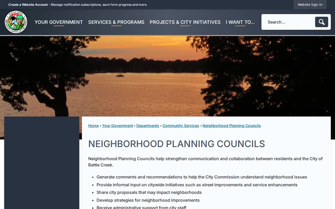
The directory is best used to find a public meeting, read a posted agenda, or understand a council area. Schedules and venues can change, so check the live city listing before attending.
| Neighborhood Planning Council | Meeting information located |
|---|---|
| NPC1 Post-Franklin | First Thursday, Doris Hale Facility, 110 Green Street |
| NPC2 North Central | Second Monday, 6 p.m., Washington Heights UMC, 153 N Wood Street |
| NPC3 Central | Second Thursday, Trinity Neighborhood Center, 10 West Bidwell Street |
| NPC4 Northeast | Third Wednesday, venue listed as to be determined |
| NPC5 Urbandale | Second Monday, Christ United Methodist, 65 North Bedford Road |
| NPC9 Rural Southwest | Not meeting; the city is seeking interest |
| NPC10 Westlake/Prairieview | Second Tuesday, 6 p.m., Lakeview Assisted Living, 14661 South Helmer Road |
| NPC11 Minges Brook-Riverside | Last Wednesday, 7 p.m., Chapel Hill Church, 157 Chapel Hill Drive |
State-Safety Record Limits
Michigan's Public Sex Offender Registry is an official state registry with its own legal scope. It can provide public registry information, but a sealed, expunged, or out-of-scope conviction may not appear. Treat it as a defined public-safety source, not as a general method for discovering who lives nearby.
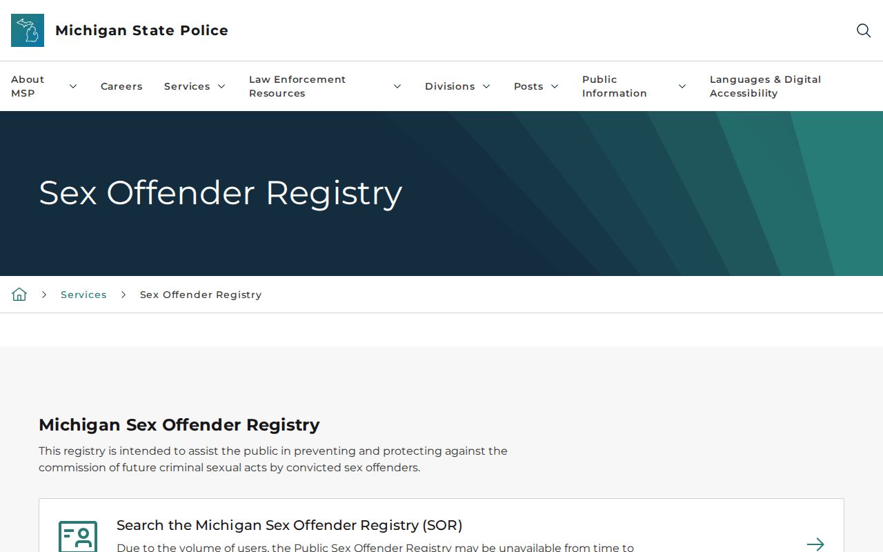
The registry's scope limit matters as much as a displayed result. A no-result does not support a conclusion about any person or address.
Michigan OTIS is another official source with a different boundary: it includes prisoners, parolees, probationers under supervision, and people discharged within the last three years. It does not include county jails, city lockups, people held only before sentencing, older discharges, or exempt information.
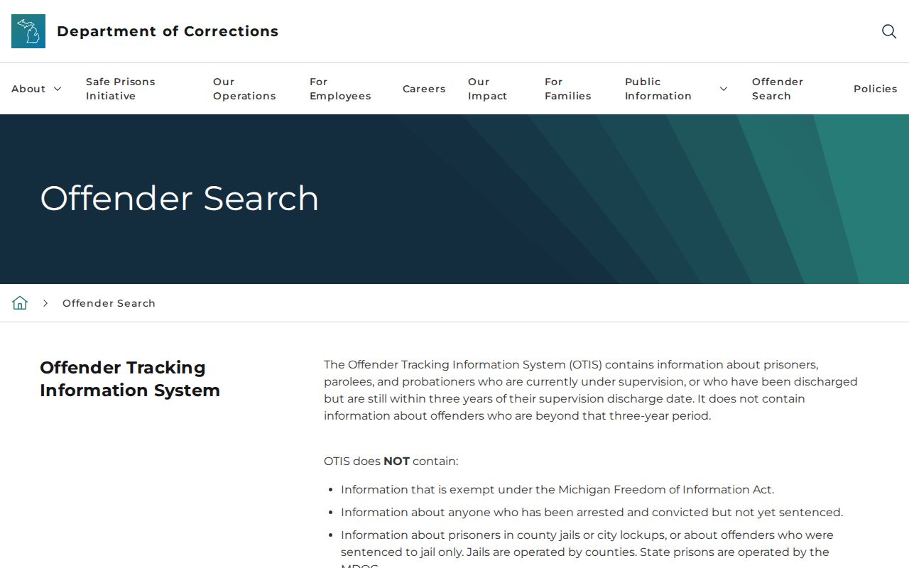
OTIS is useful only for its stated state-supervision scope. ICHAT is a separate name-based Michigan history product for qualifying felony and serious-misdemeanor repository records; it excludes federal, tribal, traffic, juvenile, local-misdemeanor, out-of-state, suppressed, and warrant information. No official public Calhoun County jail-roster portal was located in the reviewed county sources.
Official Sources and Neighbor Tools
Official records keep a stated custodian, field purpose, and access boundary. Commercial neighbor tools may combine information from different dates and sources, often without showing the original record context. Use the official source to answer a specific map or civic question and preserve the source date.
| Source category | Useful for | Key limitation |
|---|---|---|
| Official parcel and map source | Parcel boundaries, property fields, public facilities, zoning and civic geography | Owner and taxpayer fields are not evidence of occupancy |
| Official civic source | Wards, precincts, meeting schedules, public agendas and projects | It does not create a complete roster of people in an area |
| Commercial neighbor tool category | May offer a convenience summary | Dates, source meaning, accuracy, and lawful-use limits require independent checking |
Privacy Limits for Battle Creek Records
The Michigan Address Confidentiality Program was created by 2020 PA 301 and MCL 780.851 et seq. It uses a designated substitute address for eligible participants, and voter applications under that process are confidential. The federal Driver's Privacy Protection Act and Michigan's Driver's Protection Law, MCL 257.208c, also limit personal information from driver records. A substitute or absent public address is never proof that someone moved.
Michigan's stalking statute, MCL 750.411h, addresses a course of conduct that can include repeated unwanted contact and approaching a residence. Do not use parcel, voter, court, or map material to track, watch, pressure, or identify a block's private households. Request only an existing public record that is necessary for a defined civic, property, historical, or safety question.
Lawful use. Use public map and civic sources for a specific, lawful question. Never compile proximity lists or use public records to stalk, harass, intimidate, or harm anyone.